Dead Center: Tracing the Ogallala Aquifer. Ogallala Aquifer Geologic Region. Ongoing.
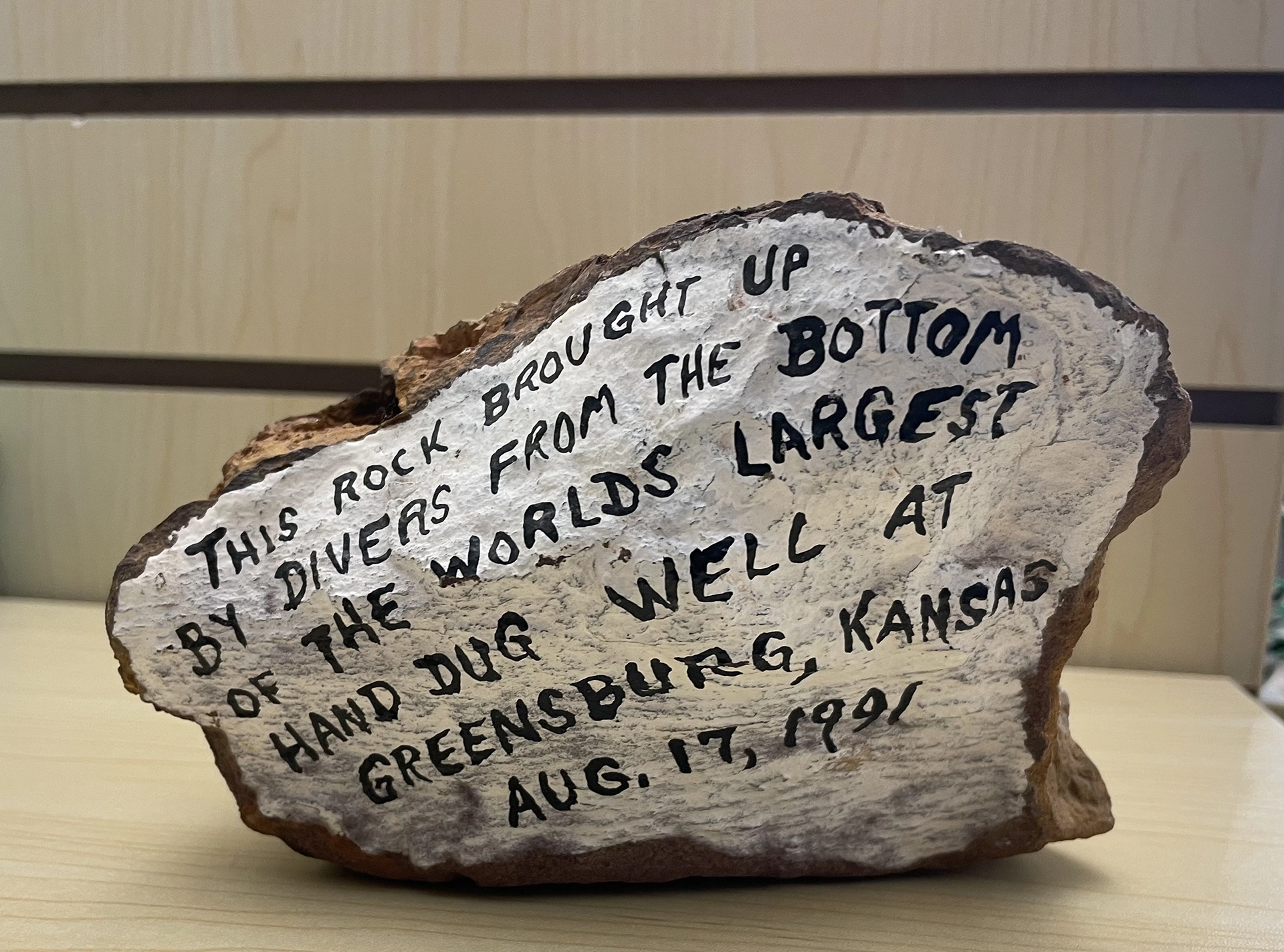
Tracing the Ogallala is a multi-year initiative that deepens understanding of the American High Plains landscape, and specifically the Ogallala Geological Region (OGR) and Aquifer, one of the world’s largest underground water sources. An ongoing public art project, it challenges us at both local and global scales to think more directly and inclusively about place, cultural preservation, and climate justice by making visible that which is largely invisible: the depths and depletion of one of the largest subterranean aquatic commons in the world.
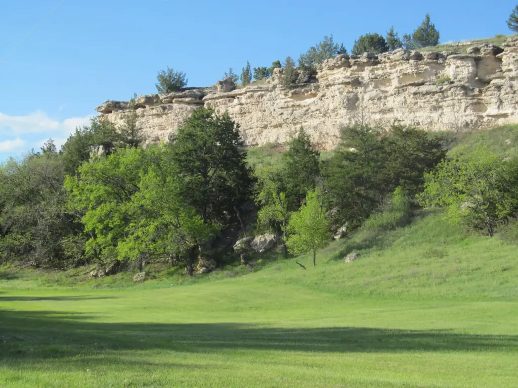
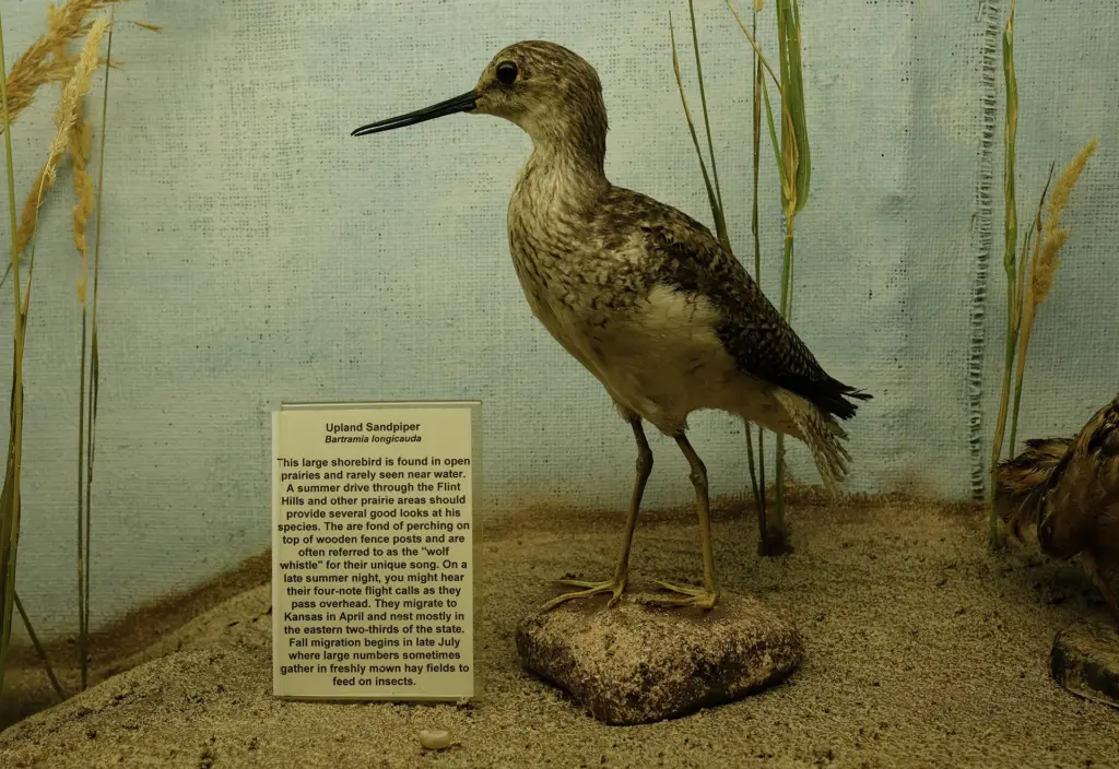
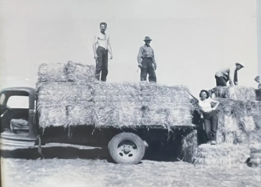
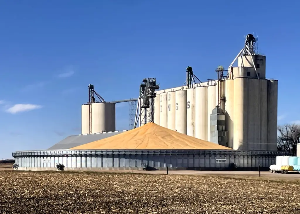
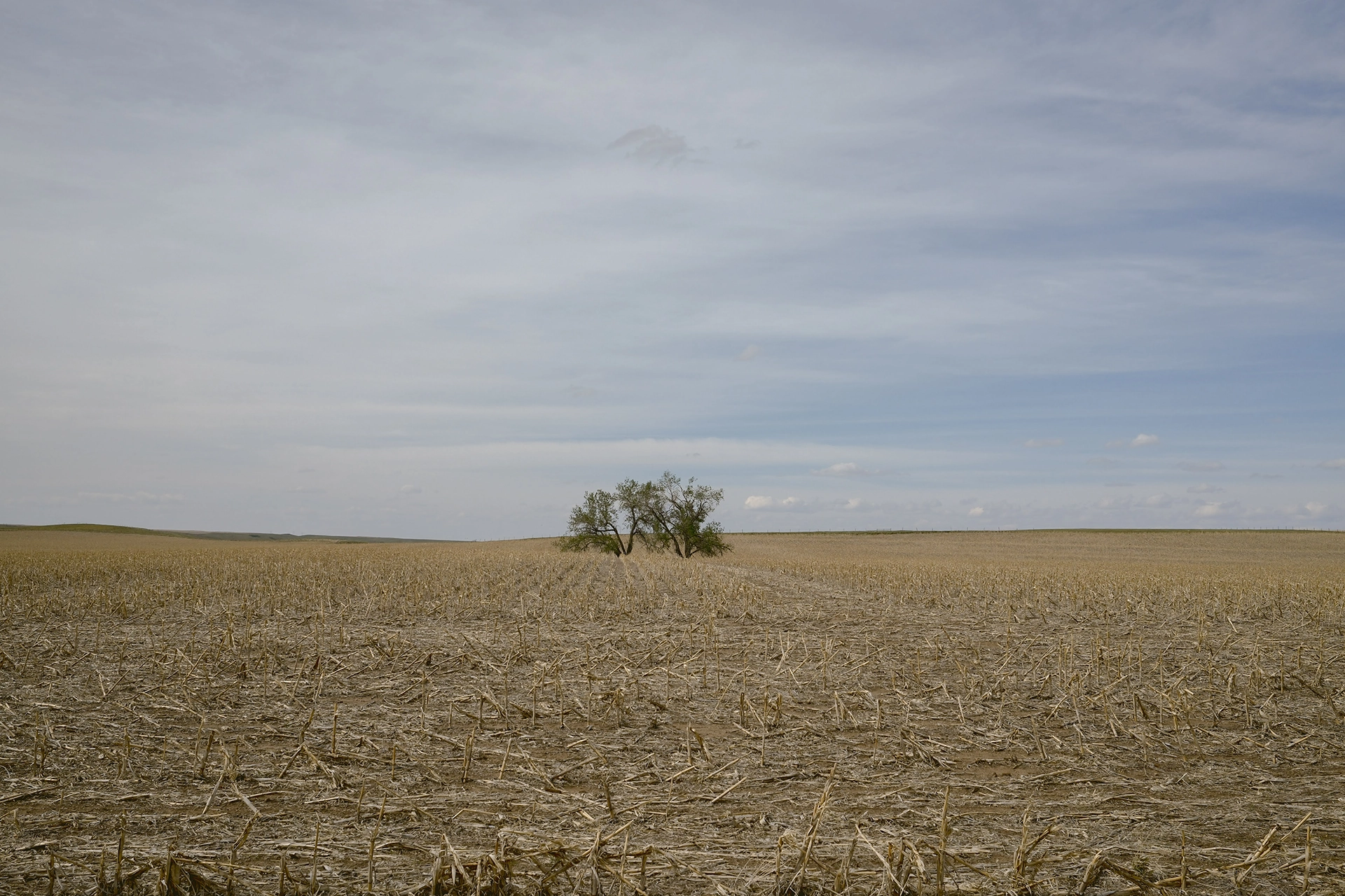
The Ogallala Aquifer lies beneath eight states: South Dakota, Wyoming, Nebraska, Kansas, Colorado, Oklahoma, New Mexico, and Texas. The region is home to some of the oldest species on the planet, including bison, sandhill cranes, and pronghorn antelope. Once an American Serengeti, much of the Ogallala region is now farm and ranch land, with its groundwater providing roughly one-third of all crop irrigation in the United States. Aggressive farming practices, coupled with climate change and increasingly scarce rainfall, have depleted the aquifer faster than it can recharge, with consequences that include ecological devastation and climate injustice, particularly within rural communities. Tracing the Ogallala addresses the aquifer’s majesty and endangerment by inviting artists, writers, and researchers to collaborate with regional partners in exploring the region’s geology, cultures, and histories.