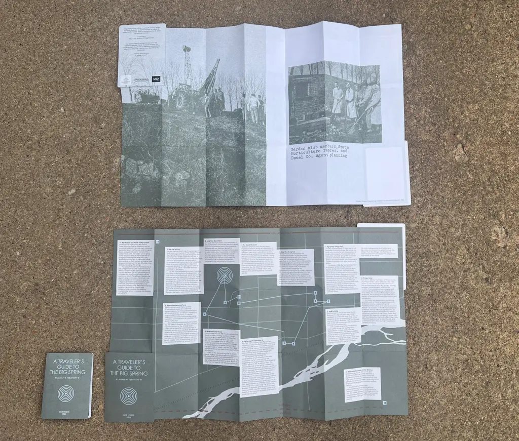
A Traveler’s Guide to the Big Spring. Big Springs, Nebraska. Paper Map. 2026.
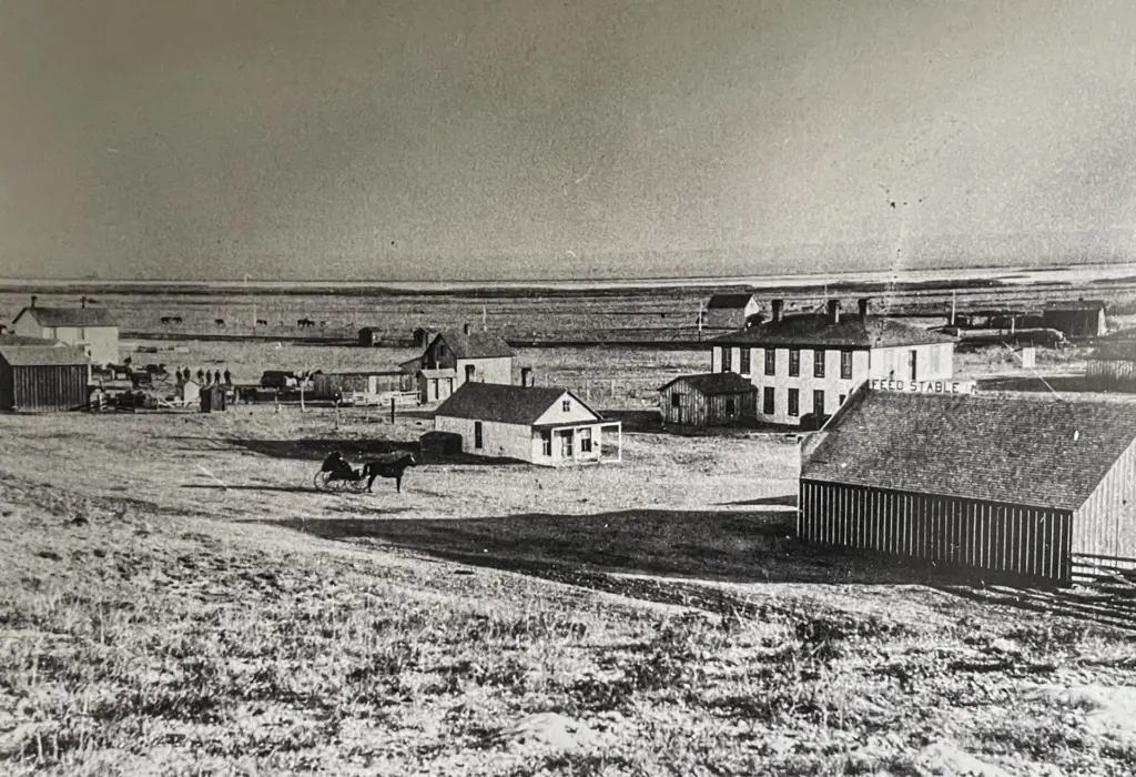
A Traveler’s Guide to the Big Spring is a self-guided walking tour and interpretive project centered on the natural spring for which Big Springs, Nebraska, is named. Located above the Ogallala Aquifer, the spring has long shaped human movement and settlement in the region. It was used by Indigenous peoples and later settlers, supplied water to steam engines during the expansion of rail travel, and became part of a landscape marked by the Oregon Trail, Pony Express, and Union Pacific Railroad.
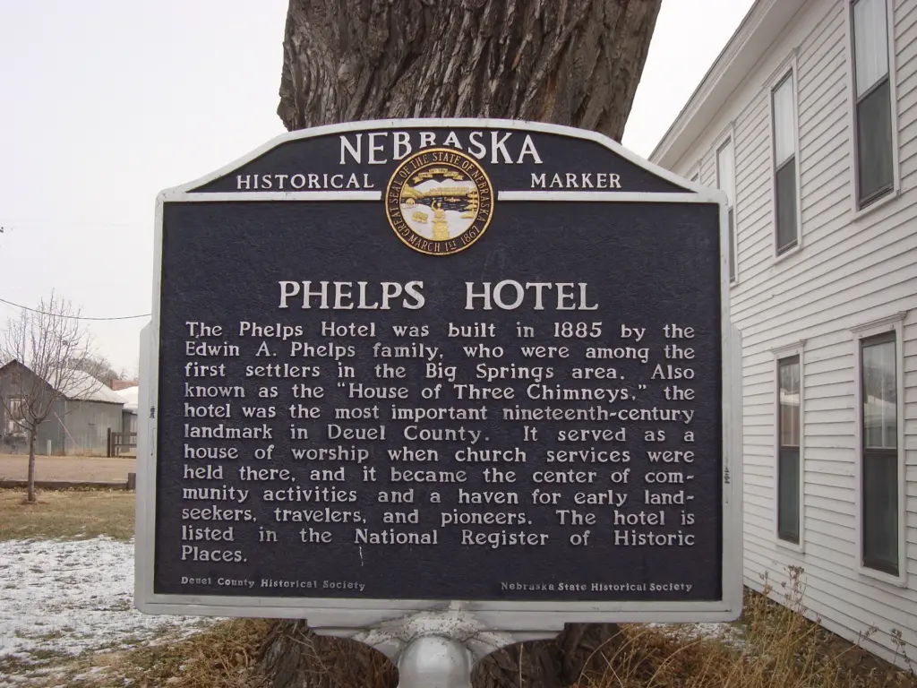
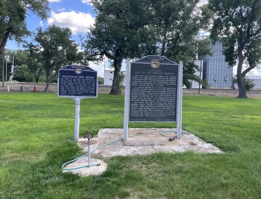
In the 1990s, the village closed the spring, dismantling its system of handmade wooden troughs and covering its mouth with concrete and asphalt. Today, a historical marker and unusual landscaping identify the site, but the water itself is no longer visible.
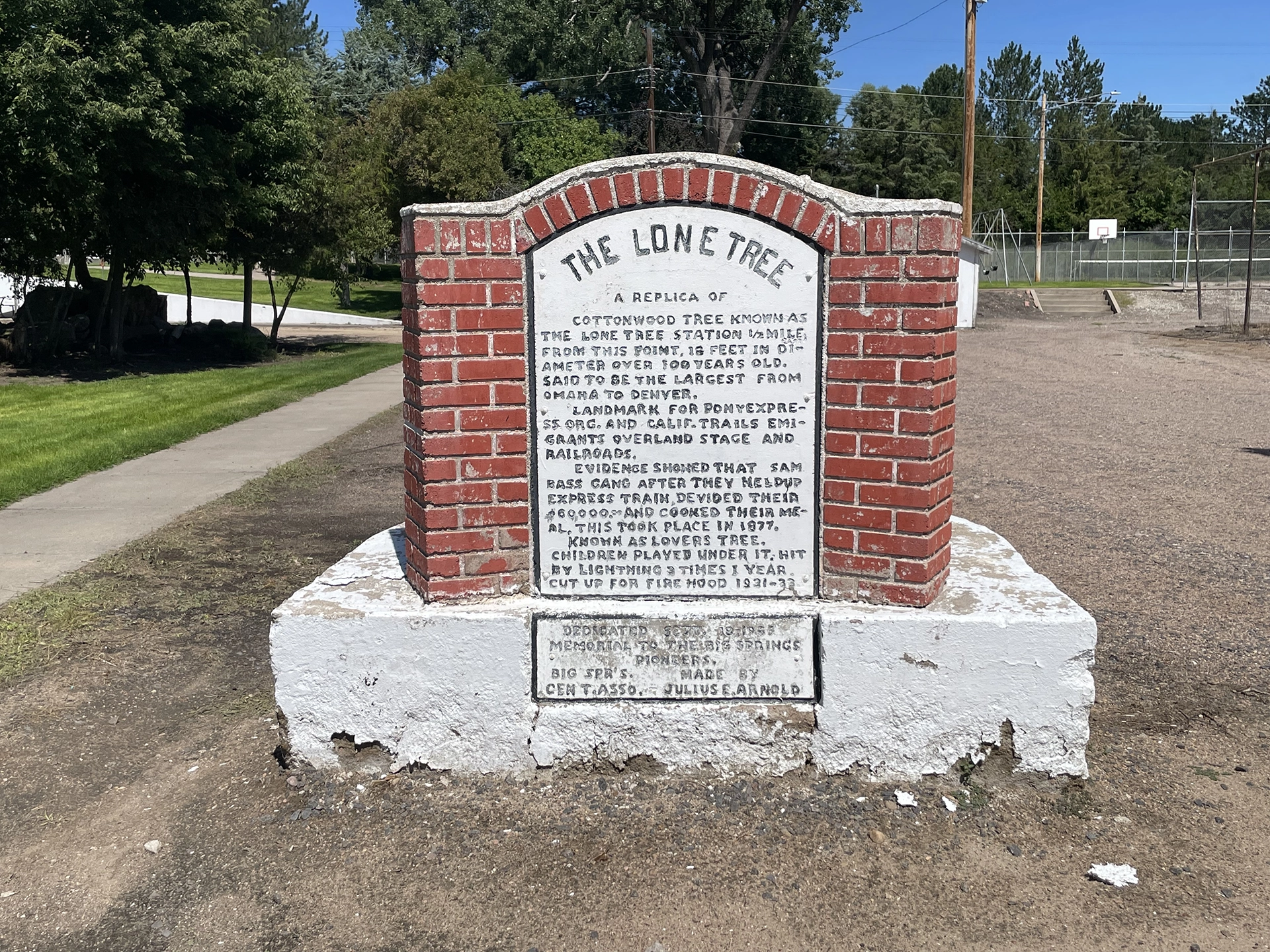
Developed from M12 STUDIO’s A&M Building, just a few minutes’ walk from the spring, Traveler’s Guide uses walking as a way to reconsider this landscape and the stories through which it has been understood. The project connects the Big Spring to nearby buildings, monuments, trails, waterways, and other cultural and ecological sites while looking beyond the settler-centered narratives that have traditionally defined them. In particular, the guide reconsiders two local landmarks—the Big Spring and the Lone Tree—within longer histories that include Indigenous peoples, migrant workers, agriculture, transportation, and the region’s changing relationship to water.
Part field guide, part walking tour, Traveler’s Guide to the Big Spring asks what becomes visible when familiar landmarks are read again and placed within a wider landscape. It is also part of M12’s ongoing effort to build awareness around the Big Spring and imagine the possibility of its restoration—not simply as a historical site, but as a living source of water and a point of connection to the larger Ogallala region.